A USGS* Topo mosaic base map is now available for the continental US, Alaska, Hawaii, Puerto Rico, and Virgin Islands!
The map uses the latest topo maps as of 2024 from the USGS.
This map is up-to-date with the latest topo maps offered by the USGS.
Read here for more information how we made the map!
Below are some examples of what the USGS topo looks like in the iOS app:
This is an overview of the entire mosaic:

This is an example of what the Appalachian Trail looks like in North Carolina:

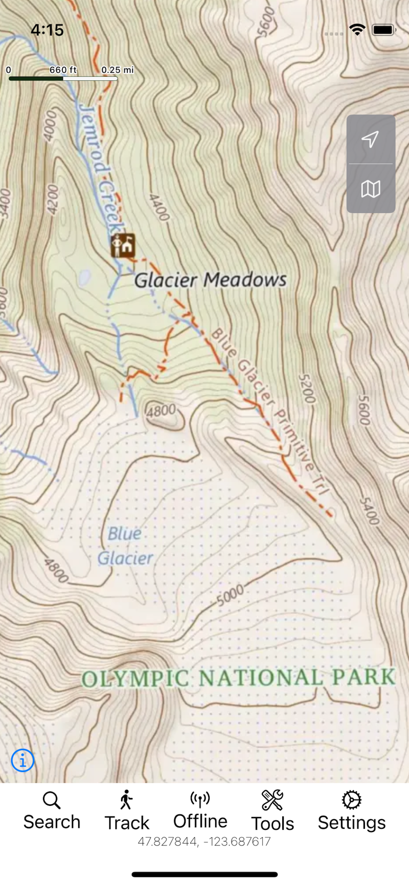
This is an example of Glacier Meadows in Olympic National Park:
*All rights go to the USGS.